
Let's dig into the details with bullet points:
- The severe weather threat is higher west of Region 8.
- The threat for Region 8 will be late in the day and tomorrow night.
- Damaging winds appear to be the main threat.
- Hail is possible.
- Nighttime tornadoes are possible.
This does not appear to be a "shield" of heavy rain coming in tomorrow, so rainfall amounts will vary greatly. I think we will have tornado watches by tomorrow afternoon and evening for parts of Region 8. I think there will be 2-3 super-cells that we will be tracking tomorrow night which will bring the bulk of any warnings.
Here's StormCAST for this evening when the main threat is in Oklahoma and Kansas:

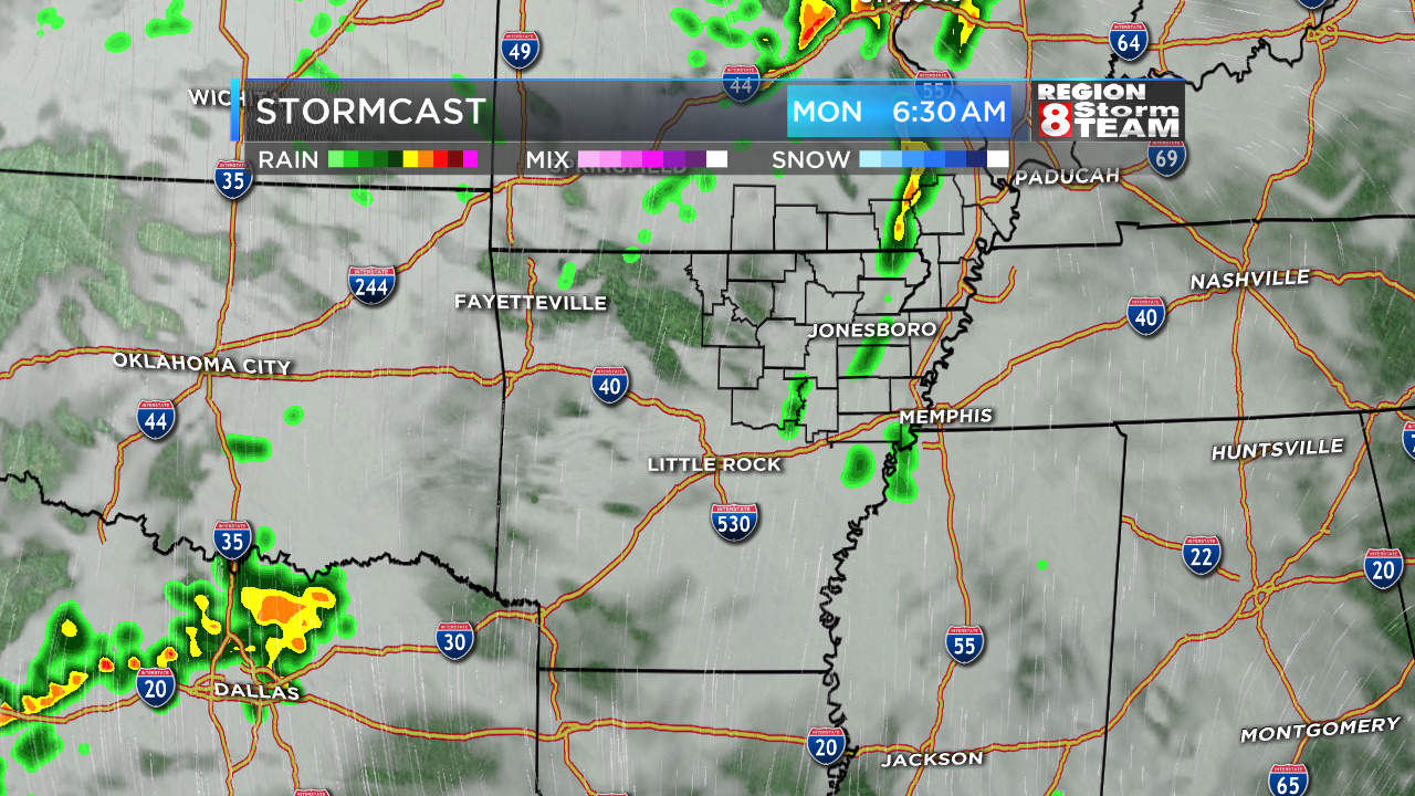
Tomorrow morning, we may have a few showers, but storms are unlikely:

By dinnertime tomorrow evening, storms move in:

And by the late evening, strong storms moving through:

Here's StormCAST for this evening when the main threat is in Oklahoma and Kansas:

Tomorrow morning, we may have a few showers, but storms are unlikely:
By dinnertime tomorrow evening, storms move in:

And by the late evening, strong storms moving through:

We will track it closely! Don't panic, but prepare for a few disruptions to plans for some people tomorrow night.
Ryan
1 comment:
Ryan, I am taking a group of my students, from Ozarka College to Costa Rica (for short-term study abroad); we leave tomorrow at 12:40, from Little Rock airport. Possible weather issues?
Post a Comment