 Everyone wants a warmup and it looks like we may be getting it soon! The above image is a 10 day loop of the temperatures at 850mb or about 5,000 feet up in the air. We can look at this type of data and gauge the high temperatures. If you notice, the deep blue is going away and being replaced by yellow! Yellow is good! Here's the bad news....
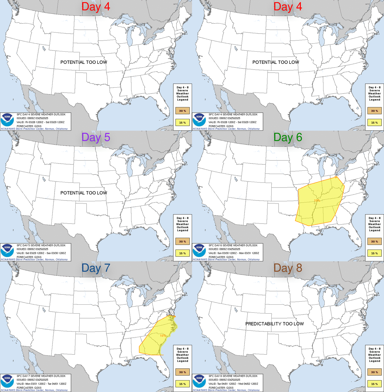
 With the warmer also comes the chance for severe weather. Right now I am not really hyped up about Thursday's storm system, but it is one to watch. The above image is the 4-8 day outlook from the Storm Prediction Center in Norman, OK. Right now, I think the worst weather will be to our Northwest. We'll see....
I'd like to send a special shout out to the Good Sam Club and the Green County Tech DARE graduates. I got visit with both groups this past Friday. They seemed to have enjoyed the Wood Ford Storm TRACKER!
What else is going on out there? Are any of you planning on going to the new mall this week??? If so, tell me about it... my email address is below...
Ryan
No comments:
Post a Comment